
Gilroy Neighbors: Block Sources
A block lookup works best when each source is assigned one purpose. Santa Clara County GIS can show adjacency and APN relationships. The Assessor can return one situs and parcel at a time, but suppresses assessee names online. The Recorder can establish titled parties through its office index. The Registrar of Voters can explain election geography, while ordinary self-lookup cannot expose names at nearby addresses.
| Source | What It Shows About a Block | Access |
|---|---|---|
| SCCMap parcel and street layers | Shape, APN relationships, adjacency, and air or land distinction | Free visual browse or download; no resident names |
| Assessor lookup | One parcel’s situs, APN, and basic assessment facts | Free individual search; owner name suppressed online |
| Clerk-Recorder deeds | Titled parties, instruments, dates, and legal descriptions over time | Office index and copies through the Clerk-Recorder |
| ROV guide and district tool | Shared precinct, district, and election geography | Free address search; no voter names |
| Authorized voter file | Nearby registration fields allowed for a qualifying purpose | Only approved Elections Code §2194 purposes; protected records withheld |
| Gilroy permits | Construction or activity events tied to an address | City portal or CPRA request; applicant may not be a resident |
| Historical reverse directories | Listed occupants or businesses at a printed address and year | Library or archive access; exact Gilroy runs require verification |
These are block clues, not a single list of neighbors. An adjacent parcel may be vacant, agricultural, commercial, multiunit, or an air parcel above another interest. A deed identifies a title role, a permit identifies an application, and a historical directory identifies a listed entry for one publication year. Match the source to the question before describing who your neighbors are. That keeps neighbors from being defined by a parcel alone.
Map Adjacent Gilroy Parcels
The practical block flow is: known situs → SCCMap polygon → APN → Assessor or Recorder record → time-specific civic or historical clue. The county’s accessible research supports adjacent parcel clicking and map browsing. It did not expose a confirmed named radius or buffer control, so the method should not promise a tool that was not verified.
- Open the Santa Clara County GIS entry point, search or pan to the known Gilroy address, and zoom until parcel outlines are distinct.
- Select the target polygon and record its APN. Click each immediately adjoining polygon instead of estimating a neighbor from a house number.
- Pan along both sides of the street and check air parcels as well as land parcels when a condominium or stacked interest may be present.
- Join each APN separately to the Assessor or Recorder, then use the ROV guide only for precinct and district context.
For a full named-street chain after the immediate block is clear, the Gilroy street directory takes the research outward by address. The neighbor workflow should stay local to the surrounding parcels.
Note: Click adjoining polygons and record APNs before treating a map relationship as a neighbor clue.
From Gilroy APN to Owner Record
For the block, the Santa Clara County Assessor Real Property Search accepts a simple property address, a structured advanced address, or an APN. The advanced fields include street number, direction, street name, street type, unit, and city. Terms must be accepted. The web result supplies basic assessment information, including APN and assessed value, but no public owner-name input exists.
For parcel maps or characteristics, the Assessor form asks for APN, property street address, property city, owner name, and requestor contact fields. The printed fee is $5 for each map or characteristic plus a $5 service fee per order, with return by mail and, for characteristics, fax or email. This request channel is different from a free web parcel search.
The Clerk-Recorder is the title source. Its online Official Records Index was removed in November 2018, while the in-office index and records reach back to 1850. Bring the APN, map, legal description, name variants, and date range to the counter; copies are purchased in person or by mail. A deed can connect adjacent parcels to titled parties, but it cannot establish every person who lives in them.
Note: Situs identifies the land or building; an owner mailing address can point elsewhere and does not prove owner occupancy.
Gilroy Voter Data by Block
The Santa Clara Registrar of Voters separates personal status from election geography. The self-lookup asks for first name, last name, birthdate, and one conditional identity route, such as a driver’s license or the last four digits of a Social Security number. It lets a voter see the voter’s own registration information. The separate guide and district search takes street number, street name, type, city, ZIP, and election to return the guide or district context.
California Elections Code §2194 treats voter registration information as confidential except for qualified election, scholarly, journalistic, political, or governmental purposes. Commercial use, false applications, and harassment are not ordinary block research channels. A permitted file may contain registration addresses and election fields, but protected voters and sensitive identity elements remain withheld. The ROV layer can place neighbors in one district without naming them. Do not enter a Gilroy street and expect a public name list.
For corrections, the Registrar’s Voter’s Action Request records current name, birth date, registered address, signature, and date, with options for a move, mailing address, phone, email, language, or cancellation. The office lists voterinfo@rov.sccgov.org, PO Box 611300, San Jose, CA 95161-1300, and fax 408-998-7314.
Note: Election geography can explain a shared district without identifying neighbors at nearby addresses on the block.
Gilroy Community Contacts, Not Rosters
Gilroy has no verified city-run master directory of neighborhood-association or HOA members in the research. Public civic contacts can help locate an event, local-history collection, or community service, but a public officer or library desk is not a membership roster. Current neighborhood-watch, congregation, club, and association lists are normally voluntary or private.
City of Gilroy
Neighborhood and community services can identify official contact layers and public programs. It does not establish a list of block residents or private members.
Gilroy Library
The library at 350 W. Sixth Street, 408-842-8207, holds local maps, yearbooks, newspapers, and community history. Ask reference staff for a research lead, not a current household roster.
Gilroy Museum
The Gilroy Museum is a local route for photographs, maps, family files, and building history. Confirm access or appointment rules before relying on a collection.
Those contacts add civic context without exposing a private neighbor. Ask an organization whether it will share a public event or accept a message, and respect a refusal to provide a roster.
Gilroy Permits and Block Change
Address-linked permits can show when a structure, addition, or inspection event entered a city record. Gilroy’s EnerGov self-service portal is the online entry point, and the city’s public-records request channel is the fallback for an identifiable existing record.
The portal’s exact filters, result fields, oldest online permit year, and code-enforcement visibility were not verified in the research pass. Request a date, address, permit or incident number, and record type rather than asking the city to identify nearby people. An applicant or contractor is not proof of residence, and a permit is evidence of work, not a household list.
For a block history, pair a permit date with the parcel polygon and, when appropriate, a deed or historical directory entry. Neighbors can read block change without turning a construction record into a claim about a neighbor.
Gilroy Limits and County Pockets
Gilroy’s city boundary, postal locality, and South County community label do not always describe the same place. County GIS and Planning layers can show city limits, urban islands, parcels, streets, and planning context. Use the County Planning GIS layer when deciding whether a block’s permit or code record belongs to Gilroy or a county department.
This geography matters to neighbors because the closest parcel may cross a records boundary even when it shares a street. Neighbors on one street may use different records desks. A county parcel layer can be the right starting map, while a city request or county request is the right access channel. Preserve the jurisdiction check with the APN and inspection date.
Note: Save the city-limit layer date because parcel, street, and planning layers refresh on different schedules.
Official and Commercial Neighbor Tools
Official records and commercial neighbor tools belong in different categories. The official path identifies a custodian and a record purpose. A commercial profile is a compiled product that may mix public and purchased data, merge same-name people, show stale addresses, or offer an opt-out without changing the underlying government record.
| Category | Useful signal | Limit and lawful response |
|---|---|---|
| County GIS and Assessor | Parcel shape, APN, situs, and basic assessment | No public owner-name mode online; verify with the custodian |
| Clerk-Recorder | Recorded title parties and legal descriptions | Office index and copy route; a deed is not an occupancy roster |
| ROV and public civic contacts | Election geography or an organization’s public contact | Voter data is restricted; a civic contact is not a member list |
| Commercial neighbor profile | Possible compiled name or address clue | Accuracy and source quality vary; correct or opt out with the business, never treat it as official proof |
The California Attorney General’s consumer privacy guidance explains that lawfully available government-record information is treated differently from a business’s independently collected profile.
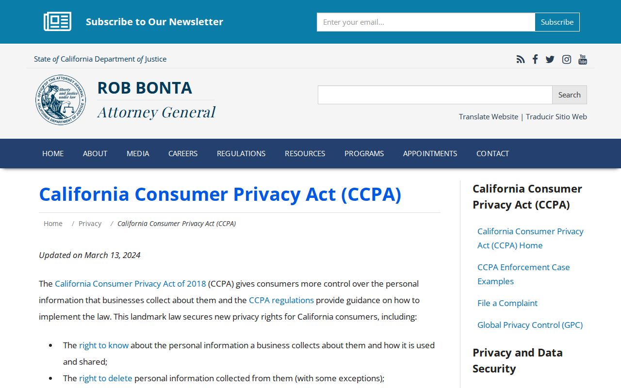
The privacy guidance supports a clear distinction: a deletion request can affect a commercial profile without erasing a deed, assessment, or court record held by its public custodian.
Gilroy Neighbors Insider Tip
INSIDER TIP. Record APNs before opening other systems. Street suffixes, unit formats, and mailing labels vary, but the parcel key can link the map, Assessor search, deed research, and adjacent-polygon notes. In a condominium, keep the land parcel and air parcel separate so a stacked unit is not mistaken for empty land.
SCCMap’s parcel layer updates annually and its streets layer updates quarterly. Save the layer date and map source, then verify any important boundary or title fact against the primary record. A clean APN trail helps neighbors compare block layers without pretending that a map shows a person.
Privacy Limits on Gilroy Neighbors
Renter and household-member names do not appear merely because a parcel exists. Utility, delivery, and customer data are not block directories. Safe at Home can shield eligible participants with a substitute mailing address and confidential mail forwarding, and protected officials or safety personnel may have additional address protections. A missing address can therefore be a privacy result, not a mapping error.
California’s DROP portal lets a resident direct one deletion request to registered data brokers. Consumers began submitting requests in January 2026, with mandatory broker processing beginning August 1, 2026. That process changes commercial exposure, not the custody or release rules for official parcel, voter, deed, or court records.
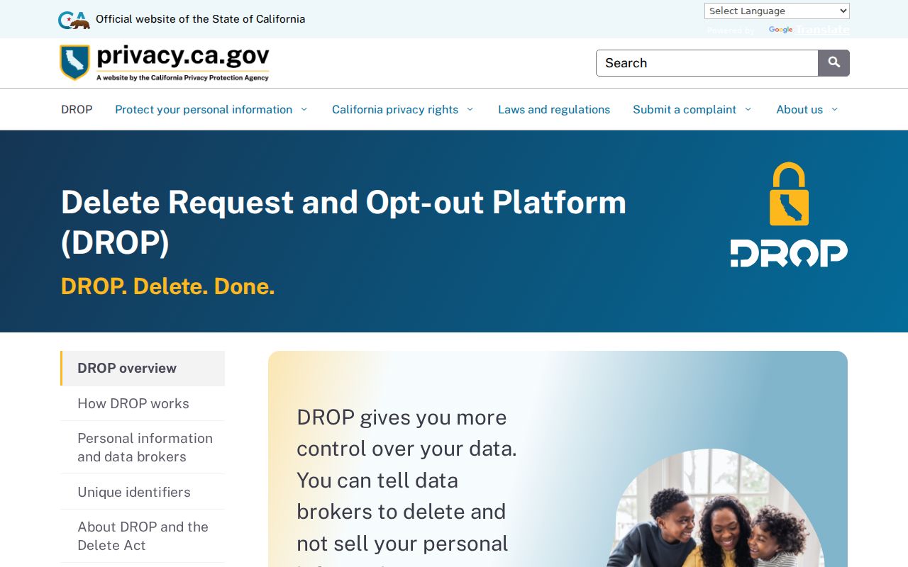
The deletion portal is a privacy control for a person’s commercial profile. It is not a route around confidential voter files, protected addresses, sealed records, or a custodian’s lawful redactions.
Lawful use. Gilroy neighbor research is suitable for civic awareness, family history, reconnecting, and respectful block curiosity. Do not use an address, map, or record clue to stalk, harass, threaten, or intimidate another person; California Penal Code §§646.9 and 653.2 set serious limits.