
Gilroy ZIP Code Coverage
The authoritative ZIP code directory in the research is deliberately short. USPS verifies the postal city and exact delivery address, while Census uses a ZCTA for statistical reporting. Neither system is a parcel-owner or household directory. The one city-name ZIP verified for Gilroy is shown below, with the limits of the finding kept visible.
| ZIP | Areas Covered | Post Office | Notes |
|---|---|---|---|
| 95020 | Gilroy city and Gilroy-address delivery territory extending into surrounding south Santa Clara County rural land | Gilroy Post Office; confirm the current facility through USPS Locations | Only Gilroy city-name ZIP verified through authoritative federal tools; the boundary is delivery geography, not the incorporated boundary |
No additional Gilroy ZIP was verified from an official source in the research pass, and the current post-office street address, hours, and any PO-box-only ZIP were not captured from USPS’s interactive results. That is a research gap, not permission to repeat an unverified third-party ZIP list.
Verify a Gilroy ZIP With USPS
A 95020 workflow should begin with delivery verification, not with a city-limit assumption. The official USPS tool offers a city and state route plus an exact-address route. Keep the full address as entered so later parcel and jurisdiction checks can explain any mismatch.
- Open the USPS ZIP Code Lookup and choose the city and state mode for Gilroy, California, when the question is which ZIPs are associated with the postal locality.
- Use the address mode for a particular delivery. Enter the street number, street name, city, state, and any unit detail exactly as known, then save the returned ZIP.
- Check the current facility and post-office layer through USPS Locations rather than copying a facility address from an old directory.
- Compare the postal result with Santa Clara County GIS and the city-limit layer. A Gilroy mailing city can reach beyond the incorporated city.
- For records, carry the normalized situs into the Assessor search and record its APN. Do not try to make the ZIP do the work of a parcel key.
Note: USPS confirms delivery geography, while the agency or county with jurisdiction decides where a permit, parcel, or code record belongs.
The USPS ZIP Code Lookup image below shows the source used for the delivery step. It is a postal lookup surface, not a resident list.
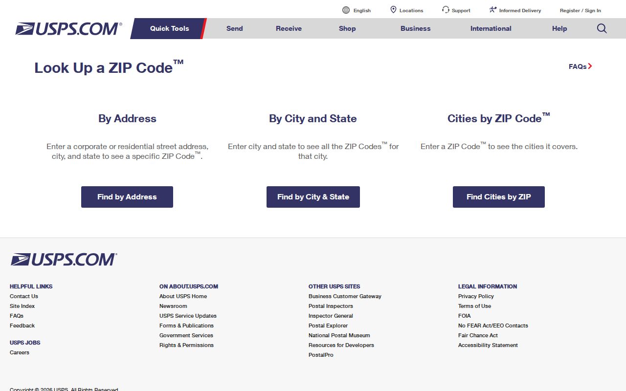
After the postal check, retain the exact address and returned ZIP together. A later county search may normalize a street suffix or unit, but it should not silently change the postal fact.
Gilroy 95020 and City Limits
Gilroy can mean the incorporated city, the USPS locality, or the broader South County community. ZIP 95020 is a delivery area that extends into surrounding rural territory, so a postal city does not establish incorporation. County GIS and Planning layers help decide whether the situs lies inside Gilroy or in an unincorporated pocket, which in turn changes the permit or code desk.
Four terms prevent a common postal lookup error:
- ZIP code
- A USPS delivery geography used to route mail. It is not a city boundary, parcel boundary, or household roll.
- ZIP+4
- Four added digits that refine delivery within a ZIP. They do not make a postal address a municipal boundary.
- PO-box ZIP
- A code assigned for post-office-box delivery when a facility uses a distinct delivery area. No Gilroy PO-box-only ZIP was verified here.
- Carrier route
- A mail-delivery route inside the postal system. It is narrower than a ZIP and does not identify every person served.
Use the city and county map check before treating a missing city permit or code result as meaningful. A postal match can be right while the municipal custodian is different.
Gilroy ZIP Code Search Fields
Official tools expose different keys. The fields below show where ZIP information can be entered and where it cannot. The Assessor accepts an address or APN, not a ZIP-wide owner search. The Registrar’s guide accepts structured address fields for election geography, not nearby names.
| Portal | Field | Type or requirement | What it returns |
|---|---|---|---|
| USPS City/State ZIP Lookup | City and State | City text and state selection | ZIP associated with the postal locality |
| USPS address lookup | Street address, city, state | Exact delivery input | Address-specific delivery ZIP |
| Santa Clara Assessor | Property address | Required simple-address text; terms checkbox required | Individual situs, APN, and basic assessment; no ZIP filter |
| Santa Clara Assessor | Street number, direction, name, type, unit, city | Structured advanced address; City is required | Individual parcel search; owner-name mode is not offered |
| Santa Clara Assessor | APN Number | Eight digits, dashed or undashed; terms accepted | Parcel-keyed assessment search |
| ROV guide and district lookup | Street number, name, type, city, ZIP, election | Structured address and election fields | Voter guide, precinct, and district geography, not voter names |
The absence of a ZIP field in the Assessor is useful evidence. A researcher must work address by address or APN by APN, or obtain a lawful purpose-specific dataset from the proper custodian. ZIP counts cannot be turned into resident counts because parcels can be vacant, agricultural, commercial, or multiunit.
ZIP Code, Situs, APN, and Mailing Address
Keep four keys in separate columns: normalized situs, APN, legal description, and USPS ZIP. Situs is the physical property location that the Santa Clara Assessor asks for. The APN is the assessor identifier, displayed as eight digits grouped like NNN-NN-NNN. A legal description uses a tract or subdivision, lot and block, map book and page, or metes and bounds. A mailing address is where correspondence goes and may be a PO box or a different city.
The mailing address does not prove residence, and the Assessor specifically tells users not to enter it as the property address. A matching situs and postal city can support a match, but title, occupancy, voting, and delivery answer different questions. The postal guide should preserve those distinctions rather than “correct” one key to fit another.
Census ZCTA and Gilroy Postal Area
The Census profile for ZCTA 95020 is a statistical view. A ZCTA approximates mail-delivery geography for Census data, but it is not a USPS route and does not draw the incorporated Gilroy boundary. Use its aggregate figures as area context, never as a list of residents or exact city population.
The Census ZCTA 95020 profile image below is the source used for the ZIP geography check.
The ZCTA view helps compare a postal area with demographic tables. It does not replace USPS address verification or a parcel-level jurisdiction check.
Map a Gilroy ZIP to Parcels
After USPS standardizes an address, use the Santa Clara County Maps Portal and SCCMap to see the parcel and city-limit context. County parcel data update about annually around August and streets update quarterly. GIS can disagree with an official primary record, so it is a bridge from place to APN, not an owner directory.
Record the target polygon, any air-parcel relationship, and the APN before opening the Assessor. For a full street-level walk after a ZIP narrows the area, use the Gilroy street directory and its address-keyed workflow. Do not infer a ZIP layer or a resident name from an unverified map popup.
Note: A map layer can explain where an address sits, but only the responsible custodian can confirm the official record and its release limits.
The Gilroy postal guide also should not imply that every government tool supports ZIP filtering. The ROV guide accepts a structured street, city, and ZIP for election geography. EnerGov is address-oriented, and its ZIP filter and result limits were not exposed. If a postal search ends at the map, carry the exact situs to the office that holds the permit or parcel record.
Gilroy ZIP Is Not a Resident Roll
MYTH. A postal code does not safely produce a resident list. The Assessor does not provide a public owner-name search or ZIP-wide mode, and California My Voter Status authenticates one voter rather than exposing a street or ZIP roll. Santa Clara voter-file information is confidential except for purposes authorized by Elections Code §2194, with protected records withheld.
A ZIP-wide research question should therefore become a set of narrow address questions. Verify delivery with USPS, identify municipal or county jurisdiction, resolve the situs to an APN, then ask the custodian for an existing, releasable record. Parcel totals are not household totals, and a mailing city is not proof that a person lives inside Gilroy.
Gilroy ZIP Research Insider Tip
INSIDER TIP. Store the USPS ZIP beside, not inside, the situs, APN, and legal-description fields. If a street address returns 95020 but the parcel sits outside the incorporated city, the mismatch explains why the post office, Assessor, GIS, and permit custodian describe the same place in different ways.
Keep the USPS result date and the map or parcel inspection date. Delivery data, GIS layers, parcel rolls, and district tools have different update cycles. A clean record of the four keys makes it possible to revisit the match without silently changing the original postal fact.
Older Gilroy Addresses Before ZIP Codes
Historical Gilroy research often starts before a modern postal code appears in an address. City and reverse directories, newspapers, census schedules, fire-insurance maps, and deed legal descriptions can place a person or building in an earlier record system. “Gilroy” may describe postal or community affiliation, while Monterey Road, Old Gilroy, Rucker, San Ysidro, Hecker Pass, or Pacheco Pass supplies a more useful locality clue.
When an old address does not match a modern street number, pivot to the parcel map, subdivision lineage, and legal description. A postal guide is a present delivery aid; it cannot repair an old address by itself.
Before postal codes, a newspaper or directory may use a rural route, Monterey Road, or a Rancho San Ysidro description. Compare the date and locality with library, archive, and map sources before treating a modern ZIP mismatch as an absence.